RV Life and RV Travel at its finest…
It was October 30th. I had been staying in Beaver, Utah at the “throwback” Beaver Canyon Campground for a few nights. I was in the last stages of my Autumn 2024 travel before heading to Parowan for the winter. Parowan is only 40 miles south, but there are significant differences between the two communities.
Beaver Utah
Beaver is a “self-contained” community. That is, Beaver, Utah has virtually everything you need to live without having to travel to and visit another community. Beaver has a population of about 3500 residents. In contrast, Parowan is a bit smaller with a population of about 2000. Parowan also has a relatively large town nearby, Cedar City. Cedar has a population of over 30000, probably more during the school year as Southern Utah University is located there. Cedar has virtually everything you could think of and that’s where I head to for most of my shopping and coffee shop needs now that I’m in Parowan.
Beaver has a couple of good breakfast places. Timberline Restaurant, a roadside diner is located along the interstate at Beaver’s southern interchange. El Bambi, a true mecca for comfort food and town icon is located near the center of town. There is a small grocery store in town, and most other services you can think of thus negating the need to go to Cedar or St. George most of the time.
Beaver also has its own indoor swimming pool. Its not fancy, and there’s no hot tub or lazy river to exercise in, but its great for lap swimming and is maintained at about 88F. Admission is also quite reasonable. Hours are limited, but that’s understandable.
Beaver Canyon Campground – a TRUE “throwback” to an earlier time…
Beaver Canyon Campground, perhaps a former KOA is located on the east end of town just shy of the entrance to Beaver Canyon. It is close enough to town to offer full cell service and over the air TV reception. The town of Beaver is an easy bike ride or walk to town and all it offers. The sites are fairly tight but they have an affordable laundry along with complete shower facilities.
Upon entering Beaver Canyon Campground, it has a definite 1960’s summer “country club” vibe. Instead of cabanas and a swimming pool, there are RV sites. Maria is the owner of the campground as well as Maria’s – an EXCELLENT Mexican restaurant that is open seasonally. Maria’s restaurant is located onsite. I had dinner there in their last few days of operation before closing for the winter in early November.
As noted earlier, Beaver Canyon Campground sits near the entrance to the absolutely SPECTACULAR Beaver Canyon. The campground (and town) are located at about 6000 ft. elevation.
Beaver Canyon Campground has no website, however they offer Passport America discounts. Having this membership, I paid only $20. for my first two nights. The regular rate is $40. per night. You can learn more about Passport America here.
Most of the campgrounds residents leave their campers here permanently. They typically occupy them in the summer months. As my visit was in late October, the campground was largely abandoned. I am thinking about returning here for a month or so after the ski season ends. It may be in April/May or October – not sure which “end” during which I will stay. I’m also considering a return to Goldfield, Nevada at some point this summer.
Beaver Canyon
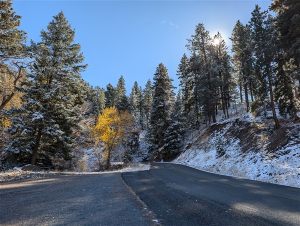
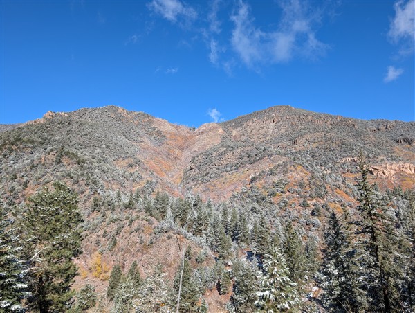
The highlight of my stay was definitely spending a day in Beaver Canyon. It is most definitely one of the most spectacular canyon’s I’ve been in. It far exceeds the natural beauty of Parowan Canyon just to the south. Considering the relatively mundane appearance of the town of Beaver, I was surprised at just how magnificent Beaver Canyon truly is.
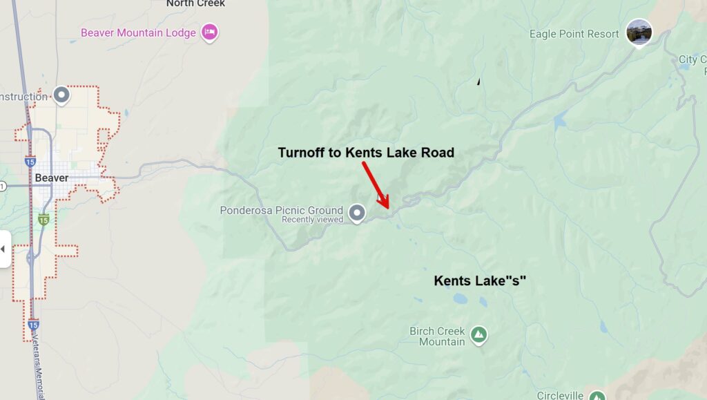
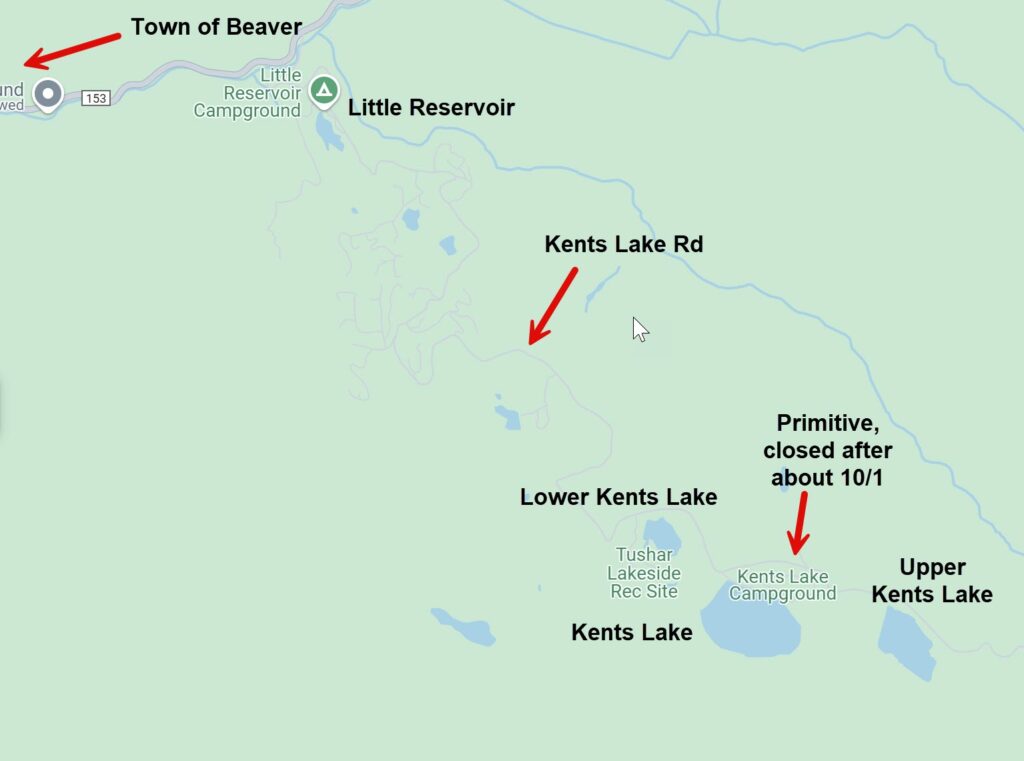
Beaver Canyon is perhaps 20 miles in length. You climb from 6000 ft. in Beaver to about 10000 ft. at Eagle Point and Puffer Lake (which was icing over even on October 30th!) There is one major fork off the main route 153. Kents Lake Road (Utah Rt. 137) travels east-southeast from the main canyon road and leads to several lakes. You can see my travel along this route in the above video.
**Thinking of purchasing an RV Camper to enjoy places like this? Want a “guide by your side” who also has your back? I offer a Concierge RV Buying (and Selling) Service designed to help you get the RIGHT camper at the BEST possible price? Check my service HERE.**
Lakes and MORE lakes…
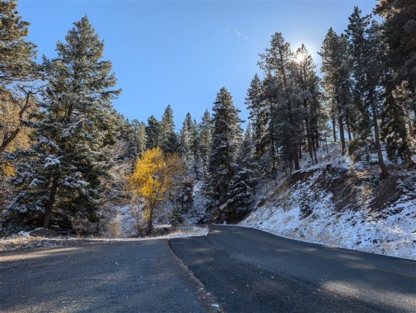
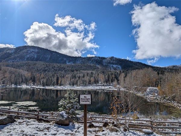
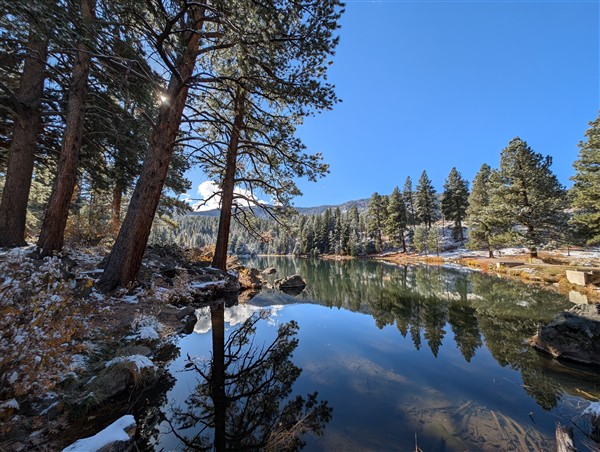
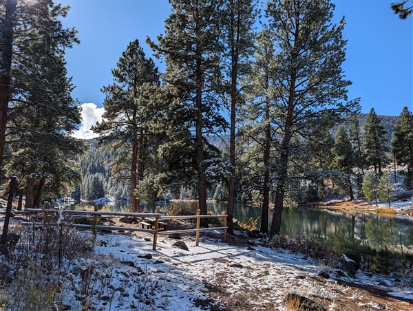
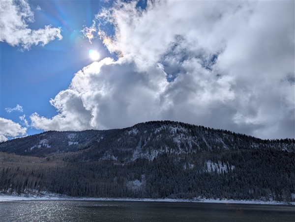
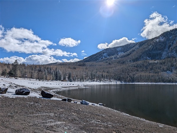
Lakes and more lakes. The video I just referenced highlights just some of the lakes I checked out on October 30th. Despite the fact that it was just mid-Autumn, it had snowed the night before. The snow accumulated at elevations above about 6500 ft. The day was COLD. When I arrived at Kent’s Lake (elevation 8800 ft.), it was mid-day and the temperature was below freezing. I was tempted to inflate the kayak, but the cold weather and muddy ground convinced me to stay in the truck and just enjoy the scenery as I traveled through this spectacular region. An abrupt slip and fall on the muddy ground didn’t help me to want to paddle in subfreezing weather either! (My lower back finally stopped hurting a couple of weeks after that fall!)
My route in the above video follows the drive up the canyon along rt. 153 until I took the fork to Kents Lake Road. Most of Kents Lake Rd. is dirt (and mud and snow – see the video!)
A request for YOUR help: Please do click the “Watch on YouTube” button on the video to be taken to YouTube to directly to the video. From there, please DO like, comment and if you’d be so kind, subscribe!
An Inspiring BONUS video below and a “Part 2” Video is coming…
Enjoy the three inspiring panoramas in the video above. All were recorded on 10/30/24. One at Eagle Point Ski Area, one at the Little Reservoir, and one just after the main fork off the canyon road (153) on my way to Kents Lake.
In the near future, I will create a “Part 2” which returns to the “fork” and then farther up 153 to Eagle Point Ski Area and then Puffer Lake (both about 10000 ft. elevation.) Both “forks” are about equally spectacular, though 153 is paved all the way up and is maintained year-round. Several of the mountain roads in Utah are NOT maintained in the winter. If traveling during the winter, be sure to know which close seasonally!
RV Camping in Beaver Canyon
There are several campgrounds scattered throughout the canyon. Most are on Forest Service land and are “primitive.” That is, dry camping only. Most are relatively small and if you plan to camp in any, check for camper size limitations and know that there is no cell service in most of the canyon. The only cell service I found once I left Beaver was near the top of the Tushar mountain range near Eagle Point Ski Area. The Tushars are the 3rd highest mountain range in Utah, reaching to 12,174 ft. above sea level.
In closing, thanks for reading, and if you’re so motivated, please leave a comment below and consider subscribing to my newsletter to be notified of upcoming posts as I release them.
RV’ers need accessories (of all kinds!) Here’s my PERSONAL RECOMMENDATIONS…
